Satellite imagery and Google Earth tools
Example of a listing and analysis
Satellite imagery and Google Earth tools empower users to Assess, Analyse, and Act (3A) effectively by providing accurate geospatial data. With built-in tools to measure distance, area, and elevation, users can evaluate land features, understand terrain variations, and make informed decisions—whether for planning, development, or monitoring. This powerful combination enhances spatial awareness and supports smarter, data-driven actions on the ground.
1. LuxCarta & BrightEarth Technology
LuxCarta, along with its BrightEarth Technology division, specializes in geospatial intelligence, delivering high-resolution satellite imagery, 3D terrain models, and land use/land cover classification for urban planning, telecom, and energy sectors. Their AI-powered solutions enable precision mapping and spatial analysis at a global scale. For a data-driven platform like Smart City Nepal, such advanced mapping and terrain intelligence are crucial in urban development planning, ground coverage analysis, and real estate evaluation, allowing for accurate decision-making based on real-world geographic conditions.


Real Estate Analysis Service
Explore the nature of service smartcitynepal provides
🚀 SmartStart – NPR 2,500+
Perfect for Individual Buyers
Terrain & slope overview
Satellite imagery review
Legal plot shape confirmation
15-minute expert consultation
⚙️ SmartPlus – NPR 5,000+
Ideal for Homebuilders & Small Developers
All SmartStart features
Road access & elevation report
360° virtual tour (if available)
Local regulation compliance checklist
30-minute engineering session
🧠 SmartPro – NPR 10,000+
Tailored for Institutional or Commercial Plots
Everything in SmartPlus
Slope, drainage, and soil analysis
Zoning & Floor Area Ratio (FAR) calculation
Engineering + Architectural feasibility report
1-hour expert review with detailed documentation
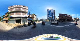
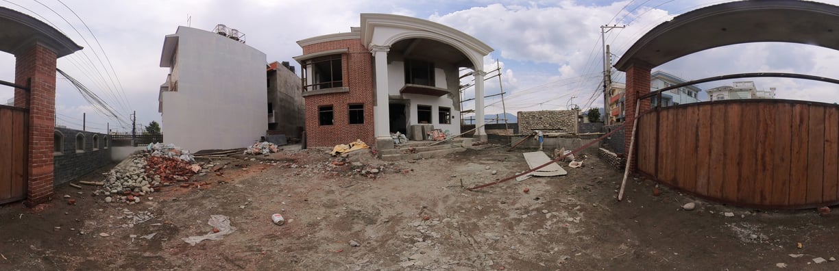
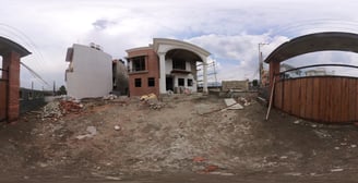
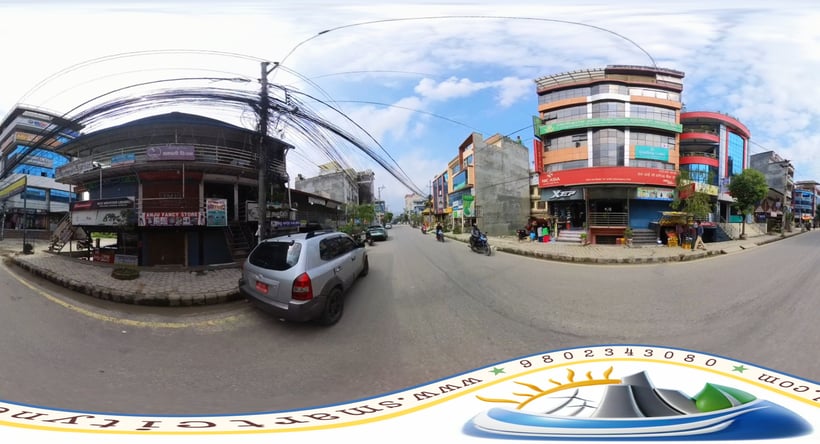
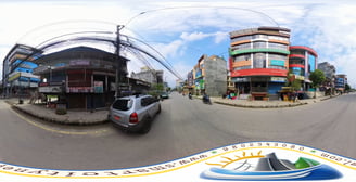
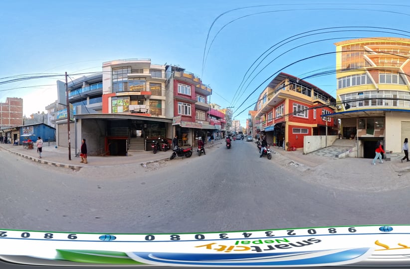
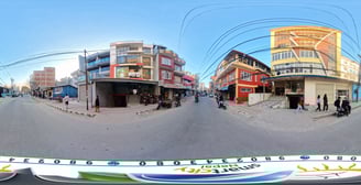
360 Photography
High-definition images showcasing real estate and business environments.