
🛠️ Our Services & Tools
We combine engineering precision and modern digital tools to evaluate land or property before you decide:
🗺 Geospatial & Satellite Image Analysis
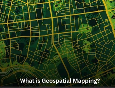
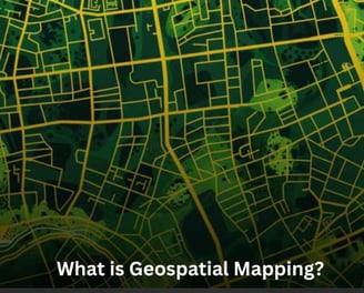
Get elevation, slope, terrain type, drainage pattern, and hazard proximity.

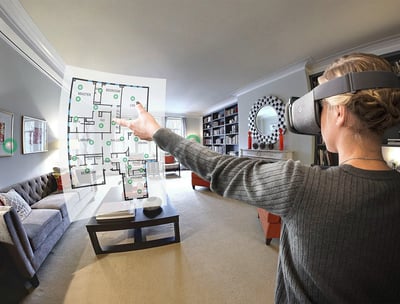

Explore the property remotely with full-view immersive walkthroughs.
🌀 360° Virtual Property Tours
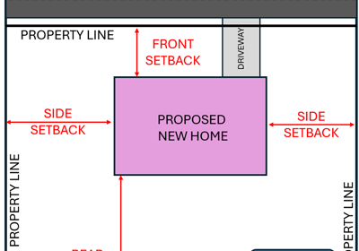
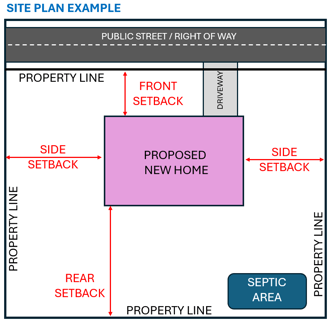


📋 Municipality Bylaws & Compliance Analysis
Avoid future demolition or penalties by checking local regulations before construction.
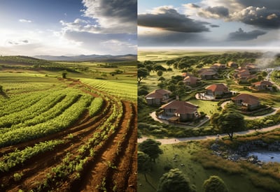
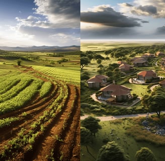
🔍 Land Use & Future Development Forecasting
Understand how surrounding land may evolve and impact your investment’s future potential.
🧱 Material & Construction Cost Guidance
Get expert tips on affordable materials, smart building practices, and how to balance quality with budget for a cost-effective, durable build.
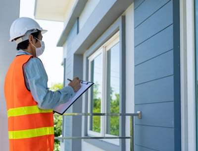
🏗 Engineering Feasibility Checks
Know buildability status, structural compatibility, and road access requirements.
Geospatial and Virtual tour across developed nations
1. LuxCarta & BrightEarth Technology
LuxCarta, along with its BrightEarth Technology division, specializes in geospatial intelligence, delivering high-resolution satellite imagery, 3D terrain models, and land use/land cover classification for urban planning, telecom, and energy sectors. Their AI-powered solutions enable precision mapping and spatial analysis at a global scale. For a data-driven platform like Smart City Nepal, such advanced mapping and terrain intelligence are crucial in urban development planning, ground coverage analysis, and real estate evaluation, allowing for accurate decision-making based on real-world geographic conditions.
3. Matterport
Matterport is a leading provider of spatial data solutions, offering both 360° capture hardware and advanced software to create immersive digital twins of real-world spaces. Known for its high-precision 3D scanning, depth mapping, and automated tour generation, Matterport is widely used in construction, real estate, insurance, and facility management. Smart City Nepal draws inspiration from Matterport’s integrated approach, using similar tools to document spaces in 360°, support planning and renovation, and present properties in a detailed, walkthrough-ready format for buyers, developers, and city planners.

The 360 photography service transformed our polytechical institute which has helped us in inquiry and many individual trainee who want to learn skills virtually
Chandra Bhakta Nakarmi
Director, Indreni Polytechnic Institute

Incredible quality and professionalism! The virtual tour showcased our business perfectly, leading to increased foot traffic.
Anjana Prajapati
Classy Beauty home
